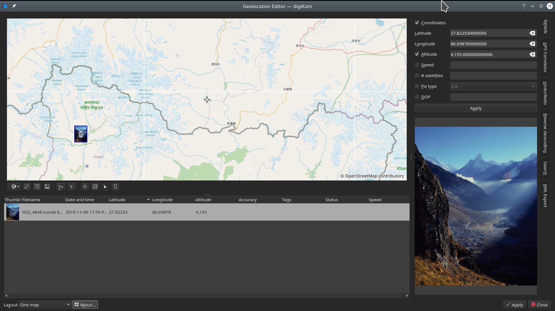
When geolocating photos that were taken in the mountains, away from towns, it would be nice if digiKam’s geolocation editor had the option of using OpenTopoMaps. In the meantime I’m using a workaround by opening OpenTopoMaps, setting a marker on the location and copying the coordinates from the URL. I copy these coordinates to LibreOffice writer and slightly change it so digiKam will recognize it, in this example changing 27.82253/86.69878 to 27.82253, 86.69878. Then I can copy it and paste it into the digiKam geolocation editor. This works, but it would be really nice to have OpenTopo available within digiKam.
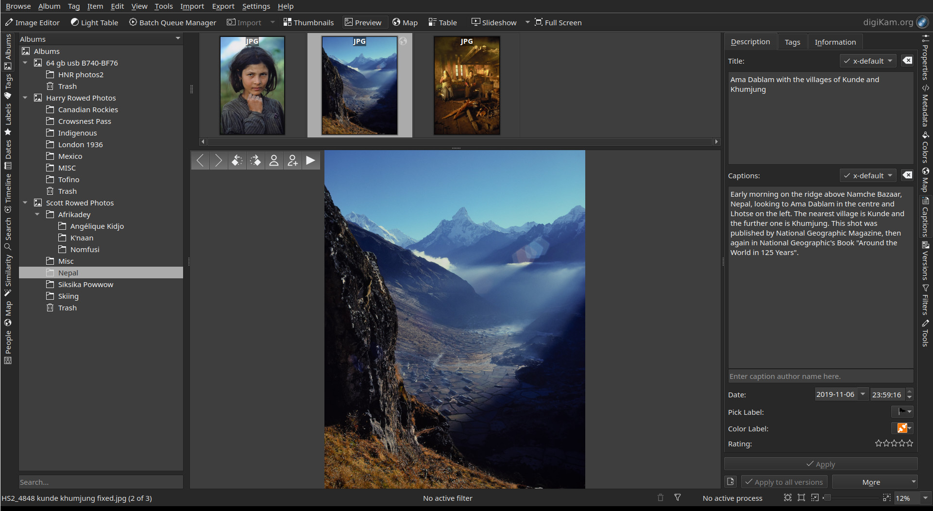
Example: